



Satellite Images Show Gaza Destruction After Ceasefire
52 sourcesUpdated Oct 7, 20261 min read
Sponsored
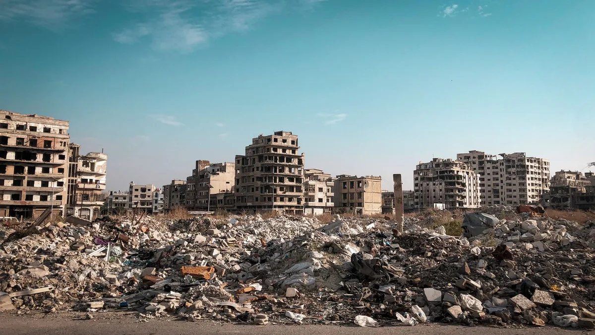
Satellite imagery shows extensive destruction across Gaza, including heavily damaged neighborhoods, the near-total ruin of Rafah, and tents and makeshift shelters filling areas once occupied by homes and public infrastructure. More than 2.1 million displaced Palestinians are living in temporary shelters, amid a continuing humanitarian crisis. The widely circulated Google Maps images were not newly released: the update appeared in June 2026 and used imagery captured in February. More recent Planet Labs images show that destruction continued after those images were taken, including in Rafah and parts of northern Gaza.
Sponsored