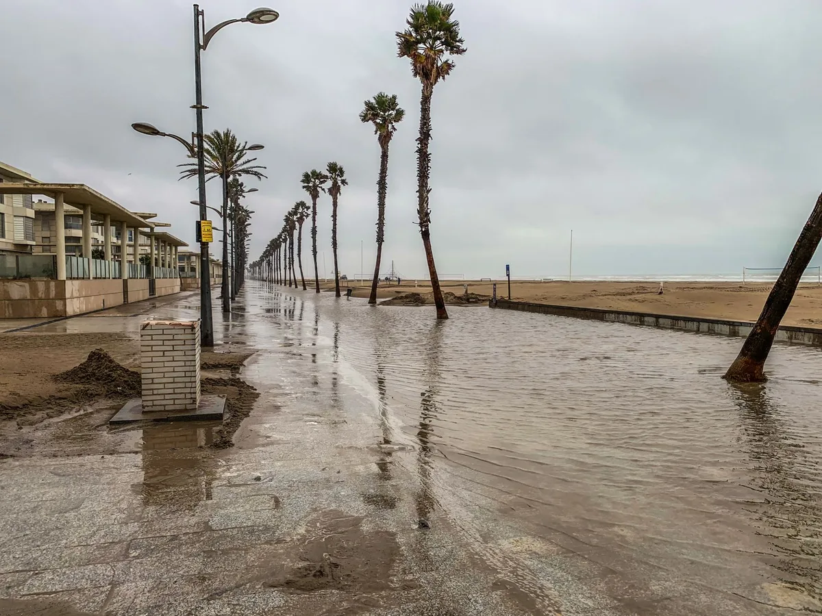



Kelvin waves from El Niño could worsen West Coast erosion and flooding
8 sourcesUpdated Oct 3, 20261 min read
Sea levels along the West Coast are expected to rise by up to a foot this month as warm-water Kelvin waves associated with El Niño hit the shore and move north into Oregon and Washington. The 6-inch to foot-tall surge is traveling about 6 mph, or 150 miles a day; experts expect waves to keep passing from October through February. Michael Jacox of NOAA said a Kelvin wave will not flood anything on its own but raises the baseline so high tides, storms, and surges have amplified effects. Dillon Amaya called Kelvin waves a fact of life in El Niño; Sean Vitousek linked the largest past El Niños to the West Coast’s worst beach erosion on record. Alyssa Napuri said emergency sand is being placed as waves near a seaside rail line and homes were damaged in swells tied to Hurricane Marie, with forecasts of six to 12 inches higher water. Gov. Gavin Newsom’s late-September emergency proclamation is meant to speed protection and readiness. Courtney James said Washington natural resources officials are ready but have not been asked for special prep. Coverage is AP-based across center and right outlets; how severe this winter becomes remains unresolved.
Where do you stand?
How it spread
What each side asserts, disputes — or leaves out entirely.
Whose framing of this story rings truest to you?
I remember past El Niño years when erosion was bad enough already, so this extra sea level rise feels like it will make things worse for beach access.
Those waves traveling at 6 mph should hit Northern California right around the next high tide cycle and add to the flooding risk.
Living near the coast, that extra foot of water combined with winter storms could easily wash out more of the bluffs than usual.