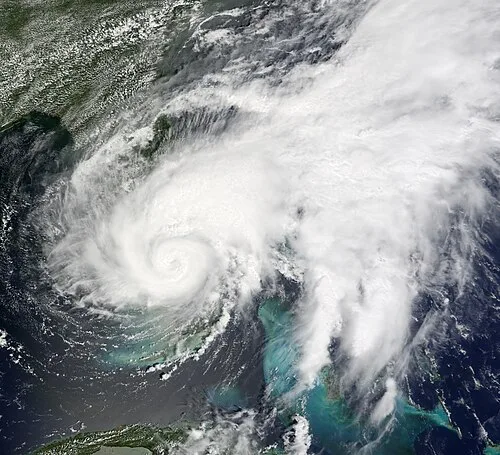




Polo Expected to Reach Category 5 Near Mexico
Live storm radar — Pacific Ocean off Manzanillo, Mexico
Hurricane Polo formed Monday off Mexico's Pacific coast as a Category 1 hurricane with 80 mph sustained winds, located 270 miles south-southeast of Manzanillo and 190 miles south-southwest of Zihuatanejo. The National Hurricane Center forecasts it to reach Category 3 at 120 mph by Tuesday morning and possibly Category 5 at 160 mph by late Tuesday, driven by ocean temperatures above 87 degrees linked to a strengthening El Niño. NHC forecaster Eric Blake wrote that Polo's chances of rapid intensification were "as high as I have ever seen them," and the agency expects it to be "a small but very dangerous hurricane by Tuesday and beyond." Tropical Storm watches covered parts of mainland Mexico, with tropical storm conditions possible Tuesday night or early Wednesday, dangerous surf and rip currents beginning Tuesday, and 4 to 8 inches of rain, isolated 12 inches, along coastal Guerrero and Michoacán through Thursday. The forecast track could bring Polo dangerously close to Los Cabos, Baja California Sur. Odalys is forecast to interact with Polo later in the week, and models disagree on whether an upper-level storm system sweeping the West Coast late in the week will pull both storms toward land.